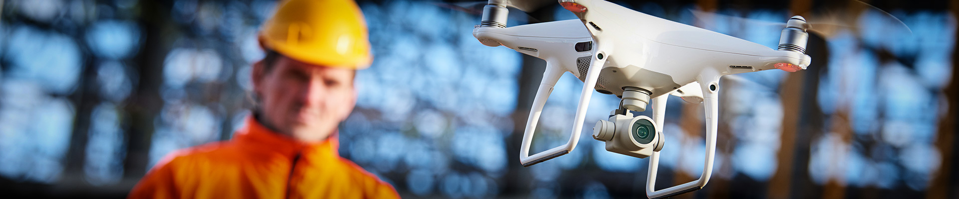
ABA is flying! We are FAA certified for remote Unmanned Aerial Systems since October of 2016 and have airspace authorization for Boston and surrounding areas. We provide construction site documentation including orthomosaic mapping and 3D modelling of topography and buildings using photogrammetry. We also use a thermal camera mounted on a drone to provide an aerial perspective that is perfect for looking at large areas such as commercial flat roof for evaluating the extent of roof leaks. Let us show you what we can see!